Tag: Lake District

  • Before the Tide Took It Back: Kayaking Moricambe Bay

    Before the Tide Took It Back: Kayaking Moricambe Bay

    Warning sign showing a man sinking in quicksand with text 'WARNING! QUICKSAND! DO NOT ENTER!'

    Disclaimer – the events described in this post have the potential to be extremely dangerous. This trip was undertaken with local knowledge, relevant experience, safety equipment and an informed risk assessment. I recommend that you do not attempt it.

    Sea kayaking into the unmapped corners of Moricambe Bay in search of two first Geographs before the tide closed the window.

    I wrote about Geographing back in November, in Taking the “Y” off Geography – a Morning on the Solway. I’m part of a wholesome community gradually photographing every one-kilometre grid square in Britain and Ireland: a sort of manually assembled Street View for the places Google’s cars cannot reach.

    After twenty years, most of the straightforward squares have been captured. I happen to live near roughly two hundred that have not, and chip away at them when time permits. 

    My last effort involved monitoring the tides and jogging 1.6 miles over the seabed in the general direction of Scotland. I came away with four first Geographs. For my second go, after several months of studying maps and tide tables, I settled on Moricambe Bay.

    The Bay

    I can see the bay from my house. It is a long way off, but I can tell whether the tide is in or out. I often walk my dog to Grune Point, the tip of the spit of land at the top. From there, across the water, you can see Anthorn Radio Station, a Cold War-era defence establishment that literally glows red in the dark.

    Black and white image of Anthorn radio station - transmitters stand out against the white sky.  Viewed from Grune Point at low tide.
    Anthorn Radio Station

    To the right of the transmitters, about 1km out, several vertical timbers stick out of the water, like the remains of a bridge or a pier.

    Wooden structures emerge from the sand - taken at low tide from Grune Point.
    Remains of WW2 bombing target, Moricambe Bay. Viewed from Grune Point.

     There is a WW2 pillbox just back from the shore. You can see across to the Dumfries coast. It is a liminal place. It looks different every time I see it. I enjoy the exotic flotsam. There is a blurred transition from farmland to seabed. Every time I visit, I study the tide tables and watch the flow and direction of the currents. They are fierce: the tidal range here is up to 10.6 metres, funnelled into a narrow bay. There are no Admiralty charts this far up. It is not supposed to be navigable.

    WW2 pillbox made by stacking sacks of concrete on top of each other.  A concrete cone on the top is a memorial to firefighters who drowned in the bay.
    WW2 pillbox – the conical structure on the roof is a memorial to four firefighters who drowned in a rescue attempt in the 1950s
    This object was washed up on the beach, it looks as if it came from The Bulldog, Amsterdam, a famous coffee shop.
    The flotsam and jetsam here never disappoint- has this travelled all the way from Amsterdam? Probably not but it may have come from Scotland.

    The bay itself is fed by two main rivers: the Wampool from the east and the Waver from the south, as well as smaller streams such as Skinburness Creek from the west. It is at least arguable, and I have convinced myself, that the source of a tributary to the Waver is next to our house.

    You can find the bay instantly on any map of the British Isles. Look for the bulge of St Bees Head, follow the coast up towards Scotland, and just before the Solway Firth narrows you will see it on the right, shaped like an asymmetrical droopy moustache.

    Apple Maps screenshot of Moricambe Bay illustrating the distinctive "droopy moustache" shape
    Screenshot from Apple Maps ©️

    When the tide is out, the river channels and mud make it all but impossible to explore on foot. The bay contains twelve 1km grid squares, five of which had yet to receive a first Geograph.

    Salt marsh farmland leading to the sandy channel of one of the rivers that flows into the bay.  A dishevelled cattle fence stands on the edge.
    The salt marshes are used by grazing cattle, the resulting beef is the stuff of local legend.

    I hatched plans to get into them with my sea kayak. My main objective was NY1755, a plot of marshland to the east of Newton Arlosh, right at the bottom of the bay. I marked up a paper OS map with a few other targets and then it was just a case of waiting for the right combination of weather, tide and free time.

    Author's paper OS map marked up with squares of interest.  The map is within an Aquatic map case and a compass is in the corner.

    Execution

    On Sunday afternoon, my ducks were finally lined up.  My friend and longtime kayaking buddy Nick was staying and we needed a quick local adventure.  

    We set off from Silloth at about 1pm. High tide was due at 2:55pm, and the forecast was Beaufort F2, a gentle breeze from the west. It felt much calmer than that.

    Stony beach in Silloth, the sea a light shade of blue / grey and in the distance Criffel on the horizon - a 570 meter hill in Dumfries and Galloway.
    The sea looked thoroughly pleasant, you can see Criffel on the horizon.
    My yellow Dagger Stratos kayak laying on the yellowing grass next to our car on Silloth sea front.  Nick's P&H Cetas sea kayak is on the grass in front of the car.
    Getting ready to go

    We had to skirt wide around the sand bar that runs north from the start of Grune Point, not quite having to use our knuckles on the sand. Kayaks feel fairly sluggish in shallow water, so we were relieved to enter Moricambe Bay.

    Me in my kayak, Anthorn transmitters in the background
    The author

    Nick in his Kayak, Grune Point in the background.
    Nick

    I should have headed straight for NY1755, but the vertical wooden structures in the middle of the bay caught my eye. I’d been curious about them for a very long time, so I temporarily abandoned plan A and made a beeline for them. As we got closer, we realised there were Great Cormorants nesting on the posts. I counted about sixteen vertical timbers, most with a nest on top. The wood was stained white with guano. 

    Timber structures sticking up out of the grey sea water.  Great Cormorants nesting on top of them.  Yellow kayak in the foreground.
    First Geograph captured – see NY1556

    We changed course a little so as not to disturb them. Although we had not been too aware of the tidal flow until then, the static timber gave us a reference point as we were pulled sideways into the bay at walking pace. There was turbulence in the water around the foot of the posts. I timed it so we would reach them close to high tide, when the flow should have been easing. Definitely not a place to be at peak movement.

    I grabbed a couple of GPS-tagged stills with my tough camera and we headed north.

    As we approached Anthorn, I realised the foreshore to the south was still out of the water.   Someone else had already bagged that square, so we pressed on to another sand bar just south of Cardurnock.  

    The sand was the colour of Earl Grey, mostly gritty but with a hint of estuary mud.  It felt solid underfoot.  

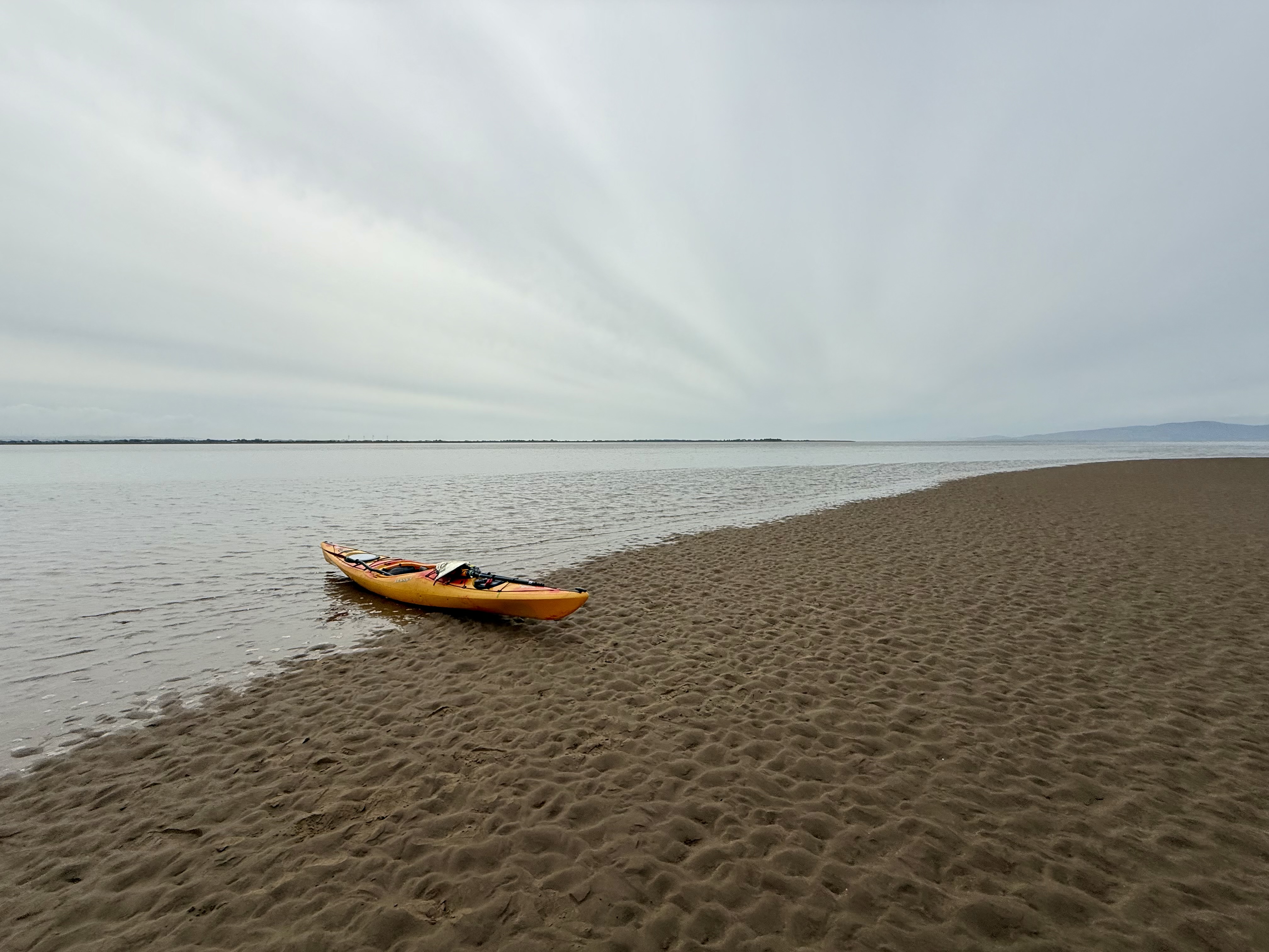
    Kayak out of the water (just) sand in the foreground, sea in the the middle distance.

    I checked my mapping app.  I’d already marked all the unclaimed geographs, we were right inside one so I snapped away happily whilst Nick dug some chocolate out for us both.  

    Screenshot of the mapping app used to locate grid squares.

    In the 5 minutes it took me to take the photos, the sea reached and floated my empty kayak. 

    Anthorn transmitters in the distance, sand in the foreground.  Nick and his kayak resting on the edge of the sandy beach to the right.  This was the first geograph captured on this grid square.
    First Geograph for NY1657

    We decided to paddle due south, still hoping to reach our original target. About 1.5km short of it, we ran out of water. From a kayak, sat almost on the surface, wet sand and shallow sea can look much the same. This was not a shallow patch but a substantial sand island. Going round it would have meant another 1.5km or so of paddling, with no guarantee of finding a channel or getting out of the bay afterwards. As it happened, the island itself had never been photographed, so I decided to make the most of it and got out for a walk. It was solid enough, though softer than the previous sandbar.

    Author's empty kayak half on the beach, Nick afloat taking a photo back at me.
    I pulled my kayak out of the water, by the time I got back to it it was well afloat.

    It occurred to me that I might just be able to set foot in NY1755 if I ran to the far side, but I would have to be quick with the tide on its way in. Nick stayed in his kayak, with mine clipped to his by a short tow rope. If I misjudged the rising water, he would be able to paddle over to me.

    Dark coloured wet sand, dirty foamy looking sea with waves breaking on the edge of the sand island.
    First Geograph for NY1756

    Jogging and taking photos as I went, I reached the far end of the island.  I was still 300m short of my target. We were separated by a deep channel.  I was disappointed, but after a very quick spot of mapwork I realised I could still get the unclaimed square to the west, the gridline appeared to be slicing the end off the island I was stood on.  

    At this scale, on such featureless ground it’s almost impossible to determine a grid boundary other than by GPS.  As I reached the invisible line, I realised the sea was just outside of it but coming in fast.  You can’t claim a geograph unless some dry land is visible within the square. I waded out 10m or so into the shallow water and took a photo looking back. It wasn’t very good, but it would have to do for now. 

    First Geograph captured for this square.  Image shows sea in the foreground, a little sand in the middle ground and Anthorn transmitters to the left.
    First Geograph for NY1656

    I was now about 300m or so from Nick and the boats.  I could see they were afloat.  I jogged back over, very excited to have collected two first geographs. These felt like a bigger prize than the one I’d originally set out for – transient offshore sand features that might not exist for the next geographer to try.

    Heading back to the boats which are now both floating, Nick in the cockpit of his P&H, my Dagger tethered to it by a short tow line.
    Very excited to have captured two first Geographs

    I got back into my kayak and we made haste to get out of the bay whilst there was still enough water.     

    The sea had picked up quite a bit whilst we were in the sheltered bay.  It made for quite an enjoyable paddle back to the car.  One hour after high tide we were driving home, mission safely accomplished.  

    I didn’t quite manage to get NY1755 this time, but I’ve proved to myself that it can be done.  Next time I’ll bring a bit more discipline and head straight to it.  

    I must take pains to urge you not to try to explore this bay unless you either really know what you’re doing or are being guided by someone who does. We had the benefit of a good practical grounding in sea kayaking, copious safety gear, a degree in geography, local knowledge and a fair bit of experience managing risk. A lot can and does go wrong on this stretch of coast.

    Resources and further reading

    If you are curious about the equipment used on this trip, take a look at my kit list.

    Anthorn Radio Station – a Cold War era radio transmitter system on a former Royal Navy airstrip.  Still in use now for communicating with our submarines.  

    Anthorn gate street view – you can’t get into this sensitive site.  

    Solway Coast National Landscape – the wildlife, geography and history of the bay.

    Substack blog about Grune Point – a different and excellent take on this location by Angie Dawn.  

    Remains of Grune Point bombing range – an explanation of the wooden structures in the middle of the bay by the Silloth Airfield history team.

    Geograph.org.uk to learn more about this remarkably satisfying hobby.
  • Helvellyn

    Helvellyn

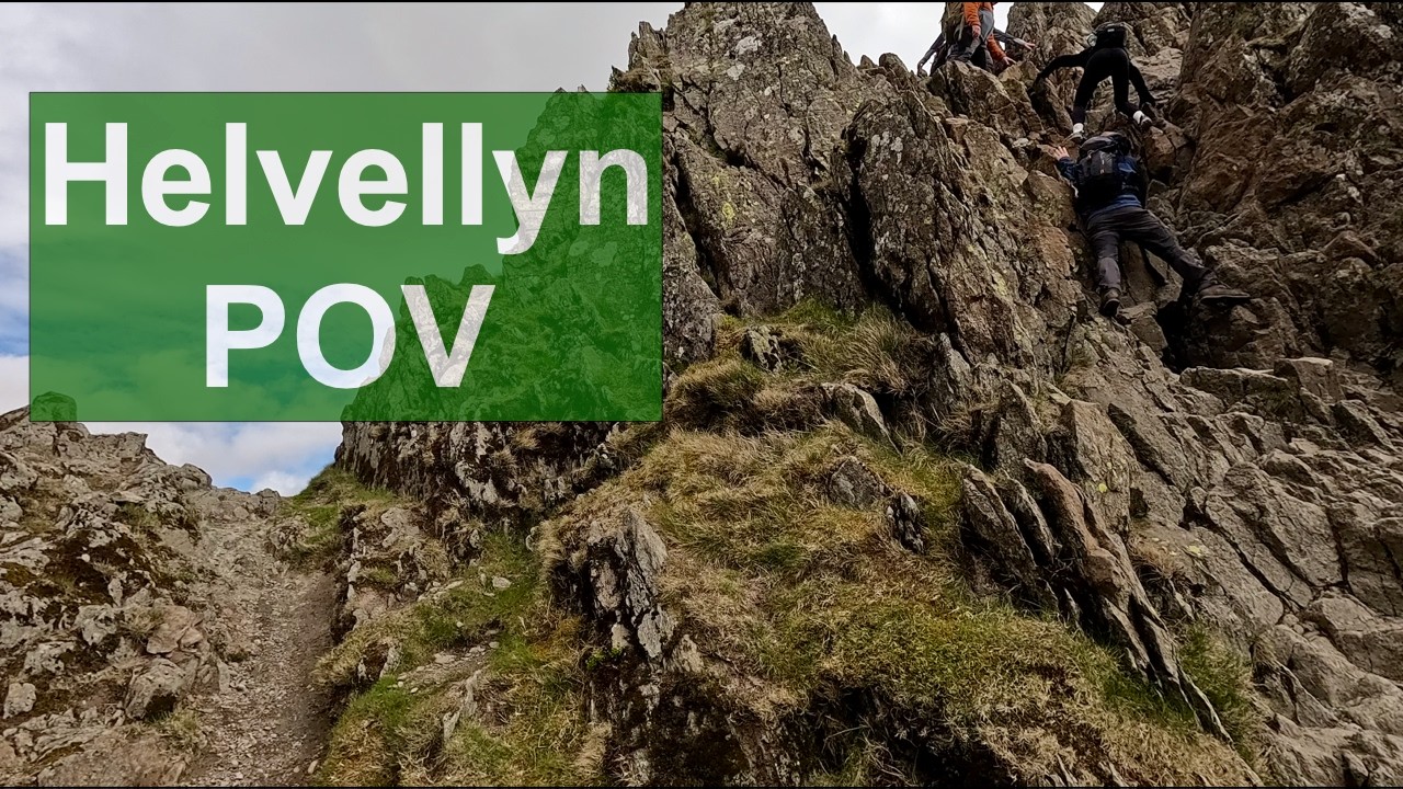
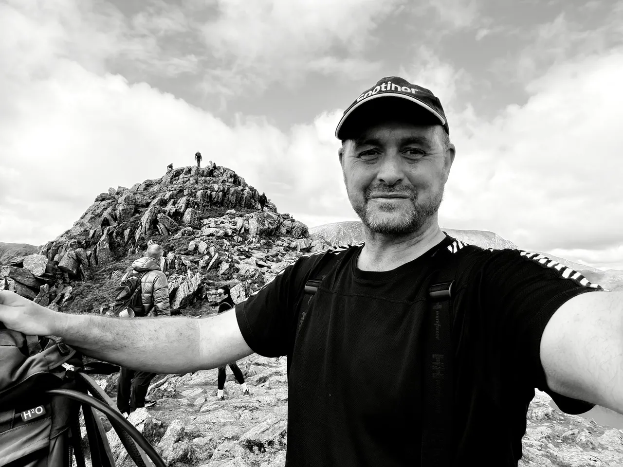
    The route from Patterdale up Striding Edge and down Swirral Edge is one of the Lake District’s great circular walks, although parts of it feel less like walking and more like negotiating a geological argument.

    My walking buddies were an old school friend and some of his pals. Like many Lake District days, we met up in a pay and display car park. We chose the one opposite the Patterdale Hotel, a very reasonable ÂŁ5 for the day (cash only). 

    Apple fitness snail trail of route

    We set off down the road, picked up part of the Coast to Coast path and then worked our way cross-country towards Bleaberry Crag.

    The first couple of miles were deceptively steady going. One of our group had a catastrophic walking boot failure within the first hour. Both of his heels completely delaminated; thankfully, I had some gaffa tape and a bit of paracord in my first aid kit. I was able to patch him up enough for him to return to his car. The rest of us continued. 

    youtube placeholder image
    A few moments from our trip captured on body worn GoPro

    Miles 3, 4 and 5 were an intensive cardio and quad workout. My average heart rate for mile 4 was 166 bpm as we hauled our way up towards the start of Striding Edge. 

    Author's apple watch mile by mile data on pace, duration and average heart rate over this 11 mile route.  Heart rate peaked at 166 for the steep section at mile 4.

    Evidence of my lack of fitness for all to see! Mile 4 was the killer.

    The conditions were perfect, no low clouds, not too hot, nice and dry and no wind. It wasn’t overly busy although there was by now a steady flow of other walkers. We caught our breath before Striding Edge proper; I took on some chocolate and coffee just in case. 

    You have no choice but to take Striding Edge seriously; there are severe drops on either side – approximately 300m to the left and 150m to the right. Even on a good day, a moment of inattention could be fatal. You could also observe that this is one of the most mindful ways to spend a Saturday morning. When you’re busy thinking about exactly where your hands and feet need to be; it’s impossible to worry about anything else!

    This route is superb because you can see and anticipate the full semi-circle of Striding Edge, the summit, and Swirral Edge at all times. Rather like the rides at Alton Towers where you observe the most exciting bits as you queue up. Red Tarn is a beautiful, inky, black feature below you and to the right as you approach the summit. 

    Towards the end of Striding Edge, there is a 4-5m descent where you need to turn around and downclimb. It felt safe to me as there were plenty of good, solid hand and footholds, but it could be quite daunting. Just after that is a slightly longer scramble up leading to the Charles Gough memorial.

    Author's photograph of a stone memorial to Charles Gough who died near to this location in 1805.

    The Charles Gough memorial. Click on it to learn more about it and a transcript of what it says.

    I’d forgotten all about him, but the memorial sent me down a Wikipedia rabbit hole. Gough was an artist born in 1784. Originally from Manchester, he set off to do the same walk as us on 17 April 1805. He fell from roughly where his memorial stands and died of a suspected head injury. His body was discovered by a shepherd on 27 July. His dog, Foxie, had stayed with him for all of that time, surviving by drinking from the tarn and scavenging. 

    Photograph of the flat summit of Helvellyn, a small group of people stood on the far end
    The striking flat plateau at the top of Helvellyn

    We took a few photos and then headed down by Swirral Edge, an enjoyable route but not as difficult as Striding Edge. We chose a different way, crossing the top of Red Tarn and down into Glenridding. By the time we reached the Traveller’s Rest, we’d covered just over nine miles, climbed one of England’s best-known ridges and frightened my cardiovascular system sufficiently for one day. We took our time nursing our pints with our boots off before making the last mile through the village and back to the car at Patterdale. 

    Author's Apple fitness data for the whole route showing elevation gain 3,366 ft and average heart rate 136BPM.
    Apple workout data

    * Distance: 10.04 miles

    * Elevation gain: 3,366 ft

    * Moving time: 5 hrs 1 min

    * Total elapsed: just under 6 hours

    * Route: Patterdale → Striding Edge → Helvellyn → Swirral Edge → Patterdale

    * Highest recorded HR: 177 bpm

    * Recovery strategy: one pint in Glenridding

    Resources

    I’ve made a page of all the tried and tested gear I use on my trips:

    Lake District National Park Fell Top Assessors home page 

    Lake District Weather Line winter conditions report

    Patterdale Mountain Rescue Team homepage

  • Piel Island

    Piel Island

    We try to keep two weeks free every summer and see what the weather allows.

    Some years the forecast is perfect and we do something ambitious like circumnavigating Raasay and Rona. Other years the Atlantic does what the Atlantic usually does and we cancel the leave and go back to work.

    This trip sat somewhere in between.

    Scotland was clearly off the table, but there was a narrow 24-hour window of settled weather locally and, crucially, the tides lined up. That was enough to tempt us out. The plan became a quick crossing to Piel Island.

    The tides around the Duddon Estuary can be awkward, so I dug out a guidebook, Northern England and IOM: Fifty Great Sea Kayak Voyages  by Jim Krawiecki. It recommends launching from the north end of Walney Island.

    Walney Island route page in the Northern England sea-kayaking guidebook

    Unfortunately, that would have required driving to Barrow-in-Furness.

    Neither of us could quite summon the enthusiasm for a one-hour 50-minute drive when the sea was already visible from my house, so we decided instead to paddle across from Silecroft in West Cumbria.

    High tide was 06:51.

    Low tide at the mouth of the Duddon would arrive at 13:30.

    We needed to be well clear of the estuary before then.

    We left Nick’s car in the parish council car park at Silecroft at about 08:30, packing just enough food and beer for 24 hours.

    Two sea kayaks and paddling equipment laid out on Silecroft beach

    The car park signage suggested the parish council preferred people not to stay overnight. We had intended to let them know what we were doing, but the contact number I had for them no longer worked.

    We decided to risk it.

    The sea was grey and slightly lumpy. It felt much cooler than July ought to, but it was good paddling. Through breaks in the cloud, the southern fells appeared almost unreal – ridges fading in and out of mist.

    View from a sea kayak towards the southern Lake District fells beneath low cloud

    Within half an hour, we were clear of Haverigg and committed to the crossing. A group of seals seemed to find us quite interesting from a discreet distance. They were bigger than the ones we are used to seeing in Scotland. 

    I’m not sure why, but you can tell when you’re kayaking over shallow water; the boat just feels different, slower, more resistive to paddling. We were half a mile or more from land, but ran out of water due to a 30-40m wide sand bar with no visible ends. 

    Mindful of the falling tide, we decided to get out and drag ourselves over it on foot rather than try to go around it and risk being beached. 

    Two kayakers crossing shallow water over a sandbank on the falling tide

    Once back afloat, we could very clearly now see the top of Walney Island. Our plan was to head down the Western/seaward side of it. 

    We stopped for lunch at Walney Island Beach, near West Shore Road. It was nearly low tide, so we pulled the kayaks clear and walked 200m or so to a slipway where we heated up some boil-in-the-bag. I went for an all-day breakfast. I have such a love-hate relationship with these things; I definitely thoroughly hate them by the end of a trip. The first one is always surprisingly less disgusting than I remembered, but by the second, I realise I was right all along. This one wasn’t too bad; I appreciated a hot meal under the circumstances. 

    Kayaker (me) in paddling gear beside cooking equipment during a lunch stop on the shore

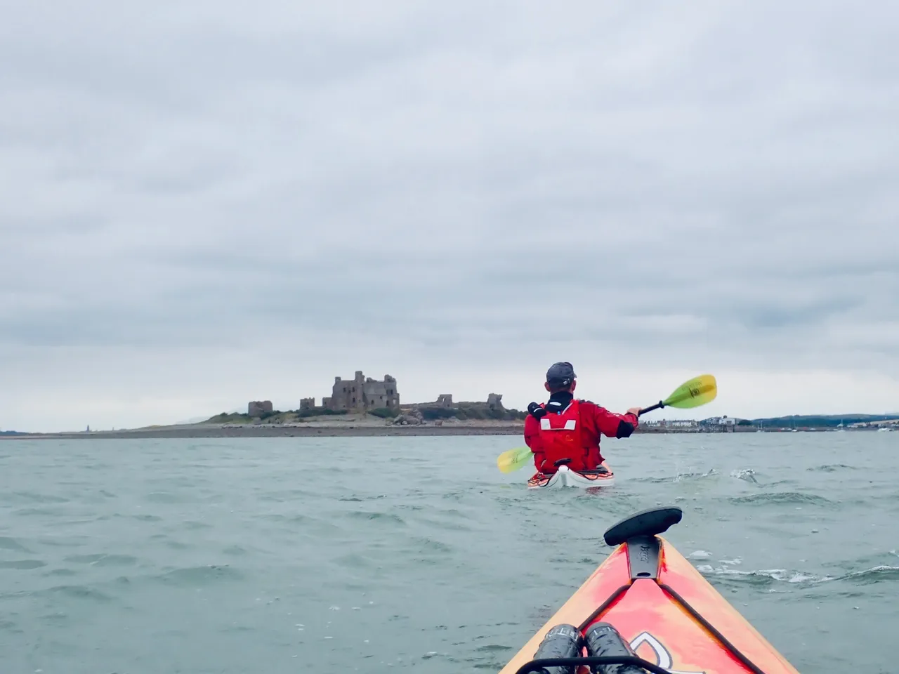
    It didn’t take us too long to reach the bottom of the island; we turned left and were treated to our first glimpse of Piel Castle. It looked incongruous, a ghost from the past. The castle still dominated the island, even as a ruin. 

    We landed by the ferry slip. Steps led up to the Ship Inn. The landlord of the Inn is also, officially, the King of Piel. So, we found the King, a friendly man in his 30s not long crowned and busy behind the bar. A loud, well-oiled customer was trying to hold court with some story or another, clutching the counter with one hand. There were half a dozen or so other customers, all desperately avoiding any eye contact with him. Everyone looked around as we walked in; dressed as we were in rubber trousers, cagoules, and buoyancy aids, we were definitely a welcome diversion. 

    I asked the King if we could camp on his island.

    “Anywhere you like” was his easy reply. ÂŁ5 per night, an exceptional bargain. 

    Everywhere around the pub was already fairly chock-a-block with tents, so we got back into the kayaks and paddled 400m or so around the coast, settling on a flat, grassy strip not far from some of the houses. 

    Tent and sea kayaks at our grassy campsite on Piel Island

    Once the tents were up, we found the castle – note the opening hours “Any reasonable time”. The King joined us with his dogs briefly; without saying it, he clearly needed a little bit of time away from the bar. 

    English Heritage information board beside the ruins of Piel Castle

    We dined on dehydrated Chicken Tikka Masala and then adjourned to the bar. 

    We found a side room full of nautical curiosities and photos and made ourselves at home. Several pints later, long after it had got dark, a private number called Nick’s telephone. It was Cumbria Police – the parish council car park committee at Silecroft had seen us paddle away over the horizon and were worried as our car was still there. This had caused a terribly embarrassing sequence of events – Bedfordshire police going to Nick’s home address, getting contact details from his wife, passing them to Cumbria police. We made our apologies to the police and thanked them for their concern.

    Sea kayak on the shore at sunrise with boats anchored offshore

    We had a very early start the next day; high tide was 08:00, we needed to be well clear of Duddon Estuary on the way back. I needn’t have set an alarm because at 5 a.m. a dredger passed seemingly a few feet from our tents, making a noise like a surprised cow. 

    We had filled our flasks with boiling water the night before to save time, so breakfast was a perfunctory porridge and tea before we got back on the water. 

    Kayaking past the shipyard buildings and cranes at Barrow-in-Furness

    We reached BAE Systems (where they make nuclear submarines). A massive contrast to be amongst such a futuristic estate only a short paddle from a 14th-century castle with its own reigning King. 

    Under the road bridge and by the time we hit the estuary, the wind was picking up considerably. The waves were coming in at between 45 and 90 degrees, and they were breaking into surf as they got closer to the land. Surf is a problem for kayakers; there’s not a lot you can do if a wave breaks over the side of your boat. It would mean a certain capsize, potentially loss of kit, injury, and a cold dunking. We deliberately took a path further out to sea, balancing the risk of being unable to swim for shore vs hopefully not needing to. 

    It was probably just slightly the wrong side of enjoyable at times. Loaded boats tend to be better to handle in these conditions, and thankfully, we had a considerable cargo of un-drunk beer thanks to the pub being open. 

    We’re pretty good at keeping each other’s spirits up and soldiering on. We only stopped once, for a quick brew from a flask because the conditions were set to deteriorate further. 

    I was starting to think about landing and carrying the boats to the nearest road, but it didn’t quite come to that as Silecroft grew from a dot on the horizon to the very welcome sight of Nick’s parked car. With an angry-looking lady standing next to it, hands on hips. It was going to be telling-off time. 

    “I know exactly where you’ve been.” 

    We must have looked fairly sheepish; her expression softened a little. All the same, she had definitely been looking forward to this moment and was not going to be easily deprived of it. We had a chat for about five minutes, explaining we were just local guys out for some harmless adventures. I made a genuine apology, and with that, and a suitable contribution to the car park honesty box, we were on our way home for fish and chips. 

    Resources

    Trip planning was assisted by the excellent guidebook: Northern England and IOM – Fifty Great Sea Kayak Voyages by Jim Krawiecki. (Amazon affiliate link)

    A page of all the gear I use for kayaking, camping and hiking 

  • Taking the “Y” off Geography – A Morning on the Solway

    Taking the “Y” off Geography – A Morning on the Solway

    “The word Geography is a noun”

    But take the Y off the end and you end up with something altogether different: a verb, an adjective, still a noun, but above all, a quietly brilliant pastime.

    The Geograph project divides the United Kingdom and Ireland into 1 km by 1 km grid squares, 281,952 of them in total. Of those, 84.9% have been photographed by contributors, leaving 48,760 that remain blank.

    Today, I did my bit to reduce that number ever so slightly.

    The Solway Coast

    There are roughly 200 unphotographed squares along the Solway coast. The easy ones, like car parks, viewpoints and beach access points, were claimed years ago. What is left are the awkward ones: out at sea, cut off by channels, or reachable only when the tide decides to cooperate.

    This morning it did.

    Low tide was forecast at 07:55 with a depth of just 0.83 metres, about 1.2 metres lower than usual. On a coast this flat, that difference exposes vast areas that only exist for an hour or two each month.

    Today’s Adventure

    Armed with a GPX file of every unclaimed square within 30 km of home, I had identified two possibilities: NY0548 and NY0547. I recognised a moderate degree of risk in this, but thankfully I have decent safety kit from my other hobby, sea kayaking.

    I packed a VHF radio, LED beacon, satellite beacon and some boating shoes that would not mind getting wet. Everything went into a bright orange dry bag with a shoulder strap. Even if I ended up swimming, my keys would stay dry.

    I parked at Holme St Cuthbert, as close as possible to where I needed to be, and used my iPhone to guide me along the most direct route through channels, rock pools and mussel beds.

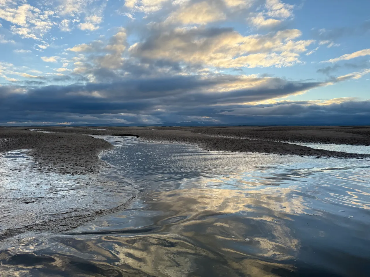
    Beach scene, wet sand reflects the blue sky and clouds.  The fells of the Lake District are visible on the horizon.
    Sea, sky, sand and the distant Lakeland Fells viewed from Stinking Crag

    2.6 km, about 1.6 miles later, at 08:12, I crossed into NY0548. The sea was running along the grid square, though not uniformly. I chose a thin spit of sand, walked along it and then waded out a little way. When I turned around, there was a small section of dry land within the square ready for me to capture. It got deep and cold quickly, but the view back towards the Cumbrian Fells made up for it.

    NY0547 lay 700 metres further, mostly surrounded by water and soft sand. Conscious of the tide beginning to turn, I jogged towards it, taking several more photos from within NY0548 as I crossed.

    I could see ’47 was already starting to disappear. A small area of raised sand remained on the far side of the grid line. I found another sliver of sand, stepped off the end, turned, and captured number two.

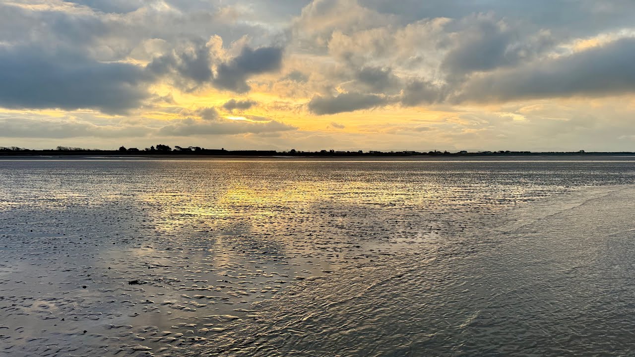
    Beach scene, shallow water covers the ground with a small slither of sand visible in the foreground.  The sun is obscured by clouds.
    Solway Coast from Stinking Crag

    A brisk walk back followed, carefully avoiding the darker, softer patches that signal quicksand. Some of the channels were deeper than they looked. I was glad I had worn shorts, but I would definitely be travelling home sitting on a towel to protect the upholstery.

    I took a quick drive down to Allonby to try for another promising square, NY0644, but I was about an hour too late.

    Back at Holme St Cuthbert, I put the drone up to see where I had been and what might be possible next time.

    The Coastline

    It is a beautiful, difficult place, constantly changing, part land, part sea, rarely still. At low tide, the high points rise like islands; at high tide, they vanish without trace.

    I have been walking and kayaking here for years and still get caught out sometimes, wading back through the channels that were not there an hour earlier. But that is the appeal of the Solway. It never quite reveals itself fully.

    Afterword

    Two new squares photographed, a few minutes of footage captured, and a reminder that adventure does not always require distance. Sometimes it only needs timing, curiosity, and a willingness to get your feet wet.

    youtube placeholder image

    Visit my Geograph profile page here 

    Field Kit from This Trip

    Everything I used on the Solway outing — simple, reliable, and tested by mud, tide and mild panic.

    Thanks for reading. If you enjoyed this piece, I’d love to hear from you — just drop me a comment below.