Tag: cumbria

  • Helvellyn

    Helvellyn

    The route from Patterdale up Striding Edge and down Swirral Edge is one of the Lake District’s great circular walks, although parts of it feel less like walking and more like negotiating a geological argument.

    My walking buddies were an old school friend and some of his pals. Like many Lake District days, we met up in a pay and display car park. We chose the one opposite the Patterdale Hotel, a very reasonable £5 for the day (cash only). 

    Apple fitness snail trail of route

    We set off down the road, picked up part of the Coast to Coast path and then worked our way cross-country towards Bleaberry Crag.

    The first couple of miles were deceptively steady going. One of our group had a catastrophic walking boot failure within the first hour. Both of his heels completely delaminated; thankfully, I had some gaffa tape and a bit of paracord in my first aid kit. I was able to patch him up enough for him to return to his car. The rest of us continued. 

    Miles 3, 4 and 5 were an intensive cardio and quad workout. My average heart rate for mile 4 was 166 bpm as we hauled our way up towards the start of Striding Edge. 

    Author's apple watch mile by mile data on pace, duration and average heart rate over this 11 mile route.  Heart rate peaked at 166 for the steep section at mile 4.

    Evidence of my lack of fitness for all to see! Mile 4 was the killer.

    The conditions were perfect, no low clouds, not too hot, nice and dry and no wind. It wasn’t overly busy although there was by now a steady flow of other walkers. We caught our breath before Striding Edge proper; I took on some chocolate and coffee just in case. 

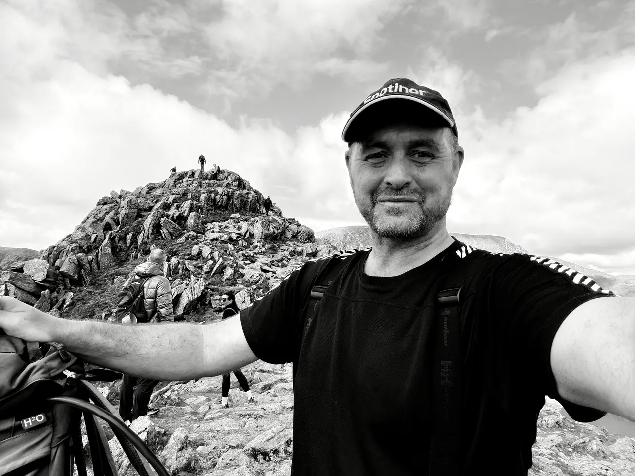
    You have no choice but to take Striding Edge seriously; there are severe drops on either side – approximately 300m to the left and 150m to the right. Even on a good day, a moment of inattention could be fatal. You could also observe that this is one of the most mindful ways to spend a Saturday morning. When you’re busy thinking about exactly where your hands and feet need to be; it’s impossible to worry about anything else!

    This route is superb because you can see and anticipate the full semi-circle of Striding Edge, the summit, and Swirral Edge at all times. Rather like the rides at Alton Towers where you observe the most exciting bits as you queue up. Red Tarn is a beautiful, inky, black feature below you and to the right as you approach the summit. 

    Towards the end of Striding Edge, there is a 4-5m descent where you need to turn around and downclimb. It felt safe to me as there were plenty of good, solid hand and footholds, but it could be quite daunting. Just after that is a slightly longer scramble up leading to the Charles Gough memorial.

    Author's photograph of a stone memorial to Charles Gough who died near to this location in 1805.

    The Charles Gough memorial. Click on it to learn more about it and a transcript of what it says.

    I’d forgotten all about him, but the memorial sent me down a Wikipedia rabbit hole. Gough was an artist born in 1784. Originally from Manchester, he set off to do the same walk as us on 17 April 1805. He fell from roughly where his memorial stands and died of a suspected head injury. His body was discovered by a shepherd on 27 July. His dog, Foxie, had stayed with him for all of that time, surviving by drinking from the tarn and scavenging. 

    Flat summit of Helvellyn
    The striking flat plateau at the top of Helvellyn

    We took a few photos and then headed down by Swirral Edge, an enjoyable route but not as difficult as Striding Edge. We chose a different way, crossing the top of Red Tarn and down into Glenridding. By the time we reached the Traveller’s Rest, we’d covered just over nine miles, climbed one of England’s best-known ridges and frightened my cardiovascular system sufficiently for one day. We took our time nursing our pints with our boots off before making the last mile through the village and back to the car at Patterdale. 

    Author's Apple fitness data for the whole route showing elevation gain 3,366 ft and average heart rate 136BPM.
    Apple workout data

    * Distance: 10.04 miles

    * Elevation gain: 3,366 ft

    * Moving time: 5 hrs 1 min

    * Total elapsed: just under 6 hours

    * Route: Patterdale → Striding Edge → Helvellyn → Swirral Edge → Patterdale

    * Highest recorded HR: 177 bpm

    * Recovery strategy: one pint in Glenridding

    Resources

    Lake District National Park Fell Top Assessors home page 

    Lake District Weather Line winter conditions report

    Patterdale Mountain Rescue Team homepage

    If you are curious about the kit I used, here are some links so you can learn more and check prices on Amazon. None of this gear is sponsored. It’s simply what I use and trust.

    Ordnance Survey Map OL5 this is the best map for a climb of Helvellyn

    Compass – this one is decent quality, it has a few more advanced features. Could be very handy in low visibility. 

    Satellite Beacon (PLB) – rescueME PLB1 – A subscription-free personal locator beacon. I carry it on the fells and permanently in my buoyancy aid at sea, more for peace of mind than anything else.

    Whistle – Lifesystems Safety And Emergency Whistle always carry one when on the water or in the fells

    Watch – Apple Watch Ultra 3 I use the Ultra 3 for route tracking, elevation and heart rate monitoring. My review is here:

    Head Torch – LED Lenser H7R Core. I didn’t need it this time, but if there was any realistic chance of darkness I would absolutely pack it. My review is here:

    Lifesystems Mountain First Aid Kit I have carried mine since 2020 for hiking and kayaking, it’s a great all round kit. Had to replace the gaffa tape after this trip!

    Aquapac Waterproof Large Phone Case you get what you pay for, I’m very pleased with mine. Aquapac also make great map cases.

    GoPro Hero 12 – The action camera used for the POV footage. There is a newer model on sale but the 12 is still very good. 

    GoPro Clip Mount – I usually clip the GoPro onto my buoyancy aid when kayaking, but it also works well attached to a rucksack strap.

    Paracord – I’ve just ordered this to replace the section used during the emergency boot repair on this walk. Looks ideal for general emergency use.

    Gaffa Tape I now wrap a couple of metres around a Sharpie pen and keep it in my first aid kit. 

    UK Map App (the link is to the Apple App Store). This app has not got great reviews, it deserves better- I’ve had it for years. You can download maps and use it offline, it rotates based on where you are facing. I use it all the time. 

    Leatherman Wave+ One of the few bits of kit I carry almost everywhere. I’ve written a detailed review here:

    Mobile Phone Charger / Battery Bank – Anker 20K – I carry the Anker 20K power bank with built-in USB-C cable. Full review here:

    As an Amazon Associate, I earn from qualifying purchases.

    I buy all my own gear and write independent reviews. If you found this helpful, buy me a coffee.
  • Piel Island

    Piel Island

    We try to keep two weeks free every summer and see what the weather allows.

    Some years the forecast is perfect and we do something ambitious like circumnavigating Raasay and Rona. Other years the Atlantic does what the Atlantic usually does and we cancel the leave and go back to work.

    This trip sat somewhere in between.

    Scotland was clearly off the table, but there was a narrow 24-hour window of settled weather locally and, crucially, the tides lined up. That was enough to tempt us out. The plan became a quick crossing to Piel Island.

    The tides around the Duddon Estuary can be awkward, so I dug out a guidebook, Northern England and IOM: Fifty Great Sea Kayak Voyages by Jim Krawiecki. It recommends launching from the north end of Walney Island.

    Unfortunately, that would have required driving to Barrow-in-Furness.

    Neither of us could quite summon the enthusiasm for a one-hour 50-minute drive when the sea was already visible from my house, so we decided instead to paddle across from Silecroft in West Cumbria.

    High tide was 06:51.

    Low tide at the mouth of the Duddon would arrive at 13:30.

    We needed to be well clear of the estuary before then.

    We left Nick’s car in the parish council car park at Silecroft at about 08:30, packing just enough food and beer for 24 hours.

    The car park signage suggested the parish council preferred people not to stay overnight. We had intended to let them know what we were doing, but the contact number I had for them no longer worked.

    We decided to risk it.

    The sea was grey and slightly lumpy. It felt much cooler than July ought to, but it was good paddling. Through breaks in the cloud, the southern fells appeared almost unreal – ridges fading in and out of mist.

    Within half an hour, we were clear of Haverigg and committed to the crossing. A group of seals seemed to find us quite interesting from a discreet distance. They were bigger than the ones we are used to seeing in Scotland. 

    I’m not sure why, but you can tell when you’re kayaking over shallow water; the boat just feels different, slower, more resistive to paddling. We were half a mile or more from land, but ran out of water due to a 30-40m wide sand bar with no visible ends. 

    Mindful of the falling tide, we decided to get out and drag ourselves over it on foot rather than try to go around it and risk being beached. 

    Once back afloat, we could very clearly now see the top of Walney Island. Our plan was to head down the Western/seaward side of it. 

    We stopped for lunch at Walney Island Beach, near West Shore Road. It was nearly low tide, so we pulled the kayaks clear and walked 200m or so to a slipway where we heated up some boil-in-the-bag. I went for an all-day breakfast. I have such a love-hate relationship with these things; I definitely thoroughly hate them by the end of a trip. The first one is always surprisingly less disgusting than I remembered, but by the second, I realise I was right all along. This one wasn’t too bad; I appreciated a hot meal under the circumstances. 

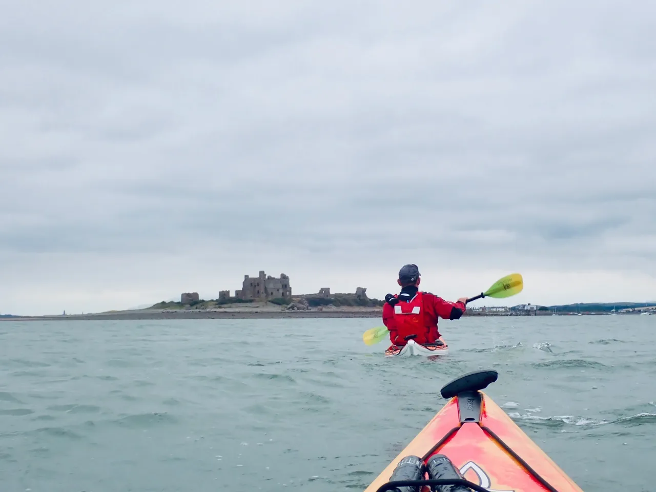
    It didn’t take us too long to reach the bottom of the island; we turned left and were treated to our first glimpse of Piel Castle. It looked incongruous, a ghost from the past. The castle still dominated the island, even as a ruin. 

    We landed by the ferry slip. Steps led up to the Ship Inn. The landlord of the Inn is also, officially, the King of Piel. So, we found the King, a friendly man in his 30s not long crowned and busy behind the bar. A loud, well-oiled customer was trying to hold court with some story or another, clutching the counter with one hand. There were half a dozen or so other customers, all desperately avoiding any eye contact with him. Everyone looked around as we walked in; dressed as we were in rubber trousers, cagoules, and buoyancy aids, we were definitely a welcome diversion. 

    I asked the King if we could camp on his island.

    “Anywhere you like” was his easy reply. £5 per night, an exceptional bargain. 

    Everywhere around the pub was already fairly chock-a-block with tents, so we got back into the kayaks and paddled 400m or so around the coast, settling on a flat, grassy strip not far from some of the houses. 

    Once the tents were up, we found the castle – note the opening hours “Any reasonable time”. The King joined us with his dogs briefly; without saying it, he clearly needed a little bit of time away from the bar. 

    We dined on dehydrated Chicken Tikka Masala and then adjourned to the bar. 

    We found a side room full of nautical curiosities and photos and made ourselves at home. Several pints later, long after it had got dark, a private number called Nick’s telephone. It was Cumbria Police – the parish council car park committee at Silecroft had seen us paddle away over the horizon and were worried as our car was still there. This had caused a terribly embarrassing sequence of events – Bedfordshire police going to Nick’s home address, getting contact details from his wife, passing them to Cumbria police. We made our apologies to the police and thanked them for their concern.

    We had a very early start the next day; high tide was 08:00, we needed to be well clear of Duddon Estuary on the way back. I needn’t have set an alarm because at 5 a.m. a dredger passed seemingly a few feet from our tents, making a noise like a surprised cow. 

    We had filled our flasks with boiling water the night before to save time, so breakfast was a perfunctory porridge and tea before we got back on the water. 

    We reached BAE Systems (where they make nuclear submarines). A massive contrast to be amongst such a futuristic estate only a short paddle from a 14th-century castle with its own reigning King. 

    Under the road bridge and by the time we hit the estuary, the wind was picking up considerably. The waves were coming in at between 45 and 90 degrees, and they were breaking into surf as they got closer to the land. Surf is a problem for kayakers; there’s not a lot you can do if a wave breaks over the side of your boat. It would mean a certain capsize, potentially loss of kit, injury, and a cold dunking. We deliberately took a path further out to sea, balancing the risk of being unable to swim for shore vs hopefully not needing to. 

    It was probably just slightly the wrong side of enjoyable at times. Loaded boats tend to be better to handle in these conditions, and thankfully, we had a considerable cargo of un-drunk beer thanks to the pub being open. 

    We’re pretty good at keeping each other’s spirits up and soldiering on. We only stopped once, for a quick brew from a flask because the conditions were set to deteriorate further. 

    I was starting to think about landing and carrying the boats to the nearest road, but it didn’t quite come to that as Silecroft grew from a dot on the horizon to the very welcome sight of Nick’s parked car. With an angry-looking lady standing next to it, hands on hips. It was going to be telling-off time. 

    “I know exactly where you’ve been.” 

    We must have looked fairly sheepish; her expression softened a little. All the same, she had definitely been looking forward to this moment and was not going to be easily deprived of it. We had a chat for about five minutes, explaining we were just local guys out for some harmless adventures. I made a genuine apology, and with that, and a suitable contribution to the car park honesty box, we were on our way home for fish and chips. 

    The kit used on this trip

    If you are curious about my kit, here are some links to it so you can learn more and check the prices on Amazon UK. None of this kit is sponsored. It’s simply what I use.

    Trip planning was assisted by the excellent guidebook: Northern England and IOM – Fifty Great Sea Kayak Voyages by Jim Krawiecki.

    VHF Radio – ICOM IC-M25 Euro EVO Marine VHF Radio Small, waterproof, rechargeable. I have used mine for several years, it can easily go a week without losing charge. There’s a reason why most sea kayakers prefer this one. 

    Satellite Beacon (PLB) – rescueME PLB1 personal locator beacon. Carried on the fells and permanently in my buoyancy aid at sea, more for peace of mind than anything else. This is the subscription-free kind. 

    LED Strobe Beacon – Odeo LED distress flare Lives on my shoulder strap; bright enough to get noticed without looking tactical.

    iPhone 16 Pro – Used for navigation, GPS trail logging and photography. Waterproof, tough, simply brilliant. 

    Aquapac Waterproof Large Phone Case I’ve got 3 cheap broken phone cases and this one which I bought in 2020 and still use all the time. 

    GoPro Hero 12 – action camera. 

    GoPro clip mount I like to carry my GoPro clipped onto my buoyancy aid. This clip is tried and tested, you can also use it on a rucksack or similar. 

    Olympus tough camera I’m still on the TG-5 which is no longer made, this link is for the new model. It’s waterproof and takes great stills, includes GPS tagging. I keep mine in the pocket of my buoyancy aid. 

    Uncle Paul boat dry bags I have about 12 different Uncle Paul dry bags in a variety of sizes. I’ve been using them since 2021, I think they are perfect for kayaking. I also use them in my rucksack for walking. You can get all your clothes, food and kit into them and never worry about water damage. 

    MSR Dragonfly petrol powered stove I have been using mine since 2020, it’s bombproof as long as you treat it with respect. I really must do a proper review of it soon. 

    MSR Alpine 2-pot mess set I’ve used this since around 2022, very happy with it. I keep my tea bags, mug, cutlery inside it to save space. 

    Leatherman Wave+ I have done a detailed written review of my Wave+ here

    MSR Elixir 2 person lightweight tent My tent also gets its own write up here

    As an Amazon Associate, I earn from qualifying purchases. 

    I buy all my own gear and write independent reviews. If you found this helpful, why not buy me a coffee

  • Taking the “Y” off Geography – A Morning on the Solway

    Taking the “Y” off Geography – A Morning on the Solway

    “The word Geography is a noun”

    But take the Y off the end and you end up with something altogether different: a verb, an adjective, still a noun, but above all, a quietly brilliant pastime.

    The Geograph project divides the United Kingdom and Ireland into 1 km by 1 km grid squares, 281,952 of them in total. Of those, 84.9% have been photographed by contributors, leaving 48,760 that remain blank.

    Today, I did my bit to reduce that number ever so slightly.

    The Solway Coast

    There are roughly 200 unphotographed squares along the Solway coast. The easy ones, like car parks, viewpoints and beach access points, were claimed years ago. What is left are the awkward ones: out at sea, cut off by channels, or reachable only when the tide decides to cooperate.

    This morning it did.

    Low tide was forecast at 07:55 with a depth of just 0.83 metres, about 1.2 metres lower than usual. On a coast this flat, that difference exposes vast areas that only exist for an hour or two each month.

    Today’s Adventure

    Armed with a GPX file of every unclaimed square within 30 km of home, I had identified two possibilities: NY0548 and NY0547. I recognised a moderate degree of risk in this, but thankfully I have decent safety kit from my other hobby, sea kayaking.

    I packed a VHF radio, LED beacon, satellite beacon and some boating shoes that would not mind getting wet. Everything went into a bright orange dry bag with a shoulder strap. Even if I ended up swimming, my keys would stay dry.

    I parked at Holme St Cuthbert, as close as possible to where I needed to be, and used my iPhone to guide me along the most direct route through channels, rock pools and mussel beds.

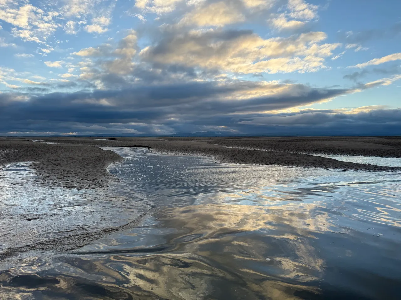
    2.6 km, about 1.6 miles later, at 08:12, I crossed into NY0548. The sea was running along the grid square, though not uniformly. I chose a thin spit of sand, walked along it and then waded out a little way. When I turned around, there was a small section of dry land within the square ready for me to capture. It got deep and cold quickly, but the view back towards the Cumbrian Fells made up for it.

    NY0547 lay 700 metres further, mostly surrounded by water and soft sand. Conscious of the tide beginning to turn, I jogged towards it, taking several more photos from within NY0548 as I crossed.

    I could see ’47 was already starting to disappear. A small area of raised sand remained on the far side of the grid line. I found another sliver of sand, stepped off the end, turned, and captured number two.

    A brisk walk back followed, carefully avoiding the darker, softer patches that signal quicksand. Some of the channels were deeper than they looked. I was glad I had worn shorts, but I would definitely be travelling home sitting on a towel to protect the upholstery.

    I took a quick drive down to Allonby to try for another promising square, NY0644, but I was about an hour too late.

    Back at Holme St Cuthbert, I put the drone up to see where I had been and what might be possible next time.

    The Coastline

    It is a beautiful, difficult place, constantly changing, part land, part sea, rarely still. At low tide, the high points rise like islands; at high tide, they vanish without trace.

    I have been walking and kayaking here for years and still get caught out sometimes, wading back through the channels that were not there an hour earlier. But that is the appeal of the Solway. It never quite reveals itself fully.

    Afterword

    Two new squares photographed, a few minutes of footage captured, and a reminder that adventure does not always require distance. Sometimes it only needs timing, curiosity, and a willingness to get your feet wet.

    Visit my Geograph profile page here 

    Field Kit from This Trip

    Everything I used on the Solway outing — simple, reliable, and tested by mud, tide and mild panic.

    As an Amazon Associate, I earn from qualifying purchases. 

    VHF Radio – ICOM IC-M25 Euro EVO Marine VHF Radio

    Small, waterproof, rechargeable. I have used mine for several years, it can easily go a week without losing charge. There’s a reason why most sea kayakers prefer this one. 

    LED Strobe Beacon – Odeo LED distress flare 

    Lives on my shoulder strap; bright enough to get noticed without looking tactical. 

    Satellite Beacon (PLB) – rescueME PLB1 personal locator beacon.  Carried on the fells and permanently in my buoyancy aid at sea, more for peace of mind than anything else. This is the subscription-free kind. 

    iPhone 16 Pro – Used for navigation and most of the footage. Waterproof, tough, simply brilliant. 

    GoPro Hero 12 –  Chest-mounted for hands-free fieldwork and comic realism.

    Drone – DJI Mini 2 SE Compact, stable, affordable and still a brilliant tool 

    Thanks for reading. If you enjoyed this piece, I’d love to hear from you — just drop me a comment below.

    Leave a Reply